Enables to view MrSID and JPEG 2000 images natively in standard Web browsers.
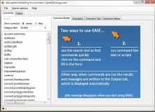
A platform designed to facilitate rigorous spatial analysis and modelling.
Download, View, and Print Maps with the MrSID Viewer
It is a set of tools for ArcGIS that enable the users to create surfaces.
You can view an image service using various client applications.